Event Title
Location
Fort Lauderdale, Florida
Description
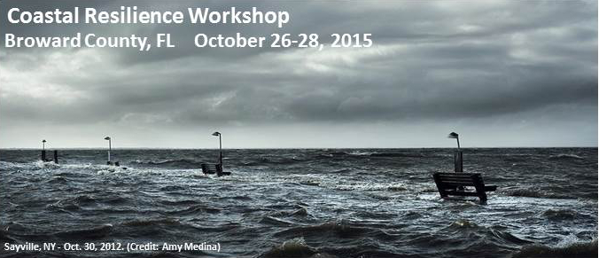
Florida Atlantic University’s Center for Environmental Studies planned and executed a Sea Level Rise Expedition that coincided with perigean spring high tides (aka King tides). The chronological pictures of flooding were taken from approximately the height of the high tide at 08:32 AM local (0.92m above MLLW) to low tide at 2:42 PM local (0.07m above MLLW) on October 26, 2015. Those in attendance were able to view the impacts of King tides which foreshadow the impacts of sea level rise. Consequences of these recurring floods provided a starting point for the scenario-driven coastal resilience discussions that occurred from October 27 to 28, 2015 at the Broward County Governmental Center.
Sea Level Rise Expedition (Photo Log)
Fort Lauderdale, Florida
Florida Atlantic University’s Center for Environmental Studies planned and executed a Sea Level Rise Expedition that coincided with perigean spring high tides (aka King tides). The chronological pictures of flooding were taken from approximately the height of the high tide at 08:32 AM local (0.92m above MLLW) to low tide at 2:42 PM local (0.07m above MLLW) on October 26, 2015. Those in attendance were able to view the impacts of King tides which foreshadow the impacts of sea level rise. Consequences of these recurring floods provided a starting point for the scenario-driven coastal resilience discussions that occurred from October 27 to 28, 2015 at the Broward County Governmental Center.