
2D Wave Spectral Data, South Arm, Great Salt Lake, Utah
Author ORCID Identifier
Robert Mahon 0000-0003-0777-7886
Elizabeth J. Trower 0000-0001-9898-5589
Benjamin P. Smith 0000-0003-3189-8717
Tyler Lincoln 0009-0000-8012-3104
Juliana Olsen-Valdez 0009-0000-0092-9707
John S. Magyar 0000-0002-3586-8286
Cedric J. Hagen 0000-0001-6722-3098
Publication Date
5-2023
Keywords
waves, wave spectrum, sediment transport, Great Salt Lake, Ooids, Microbialites
Disciplines
Biogeochemistry | Geology | Geomorphology | Hydrology | Sedimentology
Description
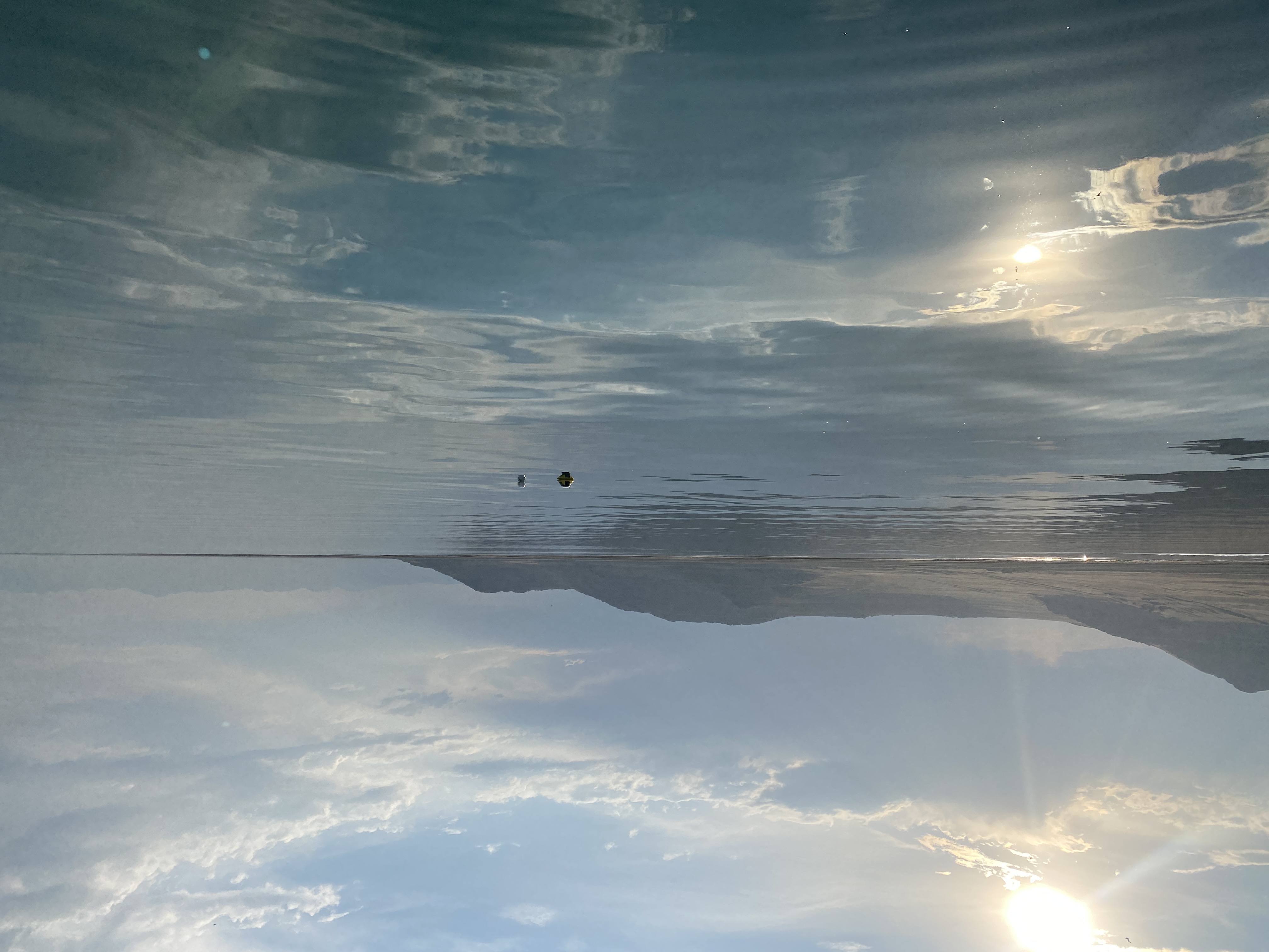
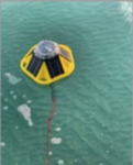
Data in this folder are produced by a SoFarOcean Spotter wave buoy deployed along the south arm of the Great Salt Lake, near Antelope Island State Park from the period of July 13, 2021 through June 28, 2022, in relatively shallow water, approximately 1.6m.
IMPORTANT NOTE: Water depths for #1328 (Miera Spit) started at ~1.7 m, but dropped rapidly to 0.9 m on July 15, 2021 and dropped further to ~0.4 m on August 17, 2021. The timing of these rapid water depth changes matches the timing of buoy location changes when the anchor was dragged inshore by waves. When buoy #1328 (Miera Spit) was retrieved at the end of the study period, it was partially beached with its ballast chain touching the bed. We surmised that data quality was suspect after the second abrupt change in water depth on August 17th, 2021 when the anchor was moved.
DOI
10.46428/sld.2
Grant/Award Number and Agency
Funded by the University of New Orleans Office of Research and Department of Earth and Environmental Sciences
Creative Commons License

This work is licensed under a Creative Commons Attribution 4.0 International License.
Recommended Citation
Mahon, Robert C.; Trower, Elizabeth J.; Smith, Benjamin P.; Lincoln, Tyler A.; Olsen-Valdez, Juliana; Magyar, John S.; and Hagen, Cedric J., "SPOT1328 Meira Spit Derived Data" (2023). 2D Wave Spectral Data, South Arm, Great Salt Lake, Utah. 2.
https://scholarworks.uno.edu/salt_lake/2
Included in
Biogeochemistry Commons, Geology Commons, Geomorphology Commons, Hydrology Commons, Sedimentology Commons